
Banks Lime Kiln, Bewcastle
Introduction
The photograph on this page of Banks Lime Kiln, Bewcastle by Les Hull as part of the Geograph project.
The Geograph project started in 2005 with the aim of publishing, organising and preserving representative images for every square kilometre of Great Britain, Ireland and the Isle of Man.

There are currently over 7.5m images from over 14,400 individuals and you can help contribute to the project by visiting https://www.geograph.org.uk
Banks Lime Kiln, Bewcastle
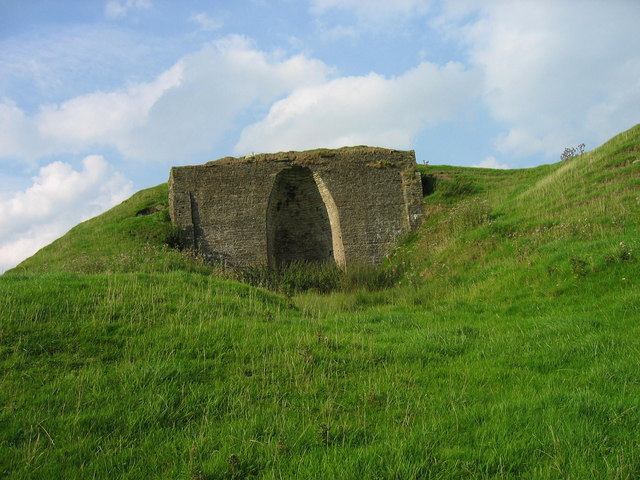
Image: © Les Hull Taken: 13 Sep 2006
Bewcastle Web Site: By the 19th century, law and order were returning to the area, and fields were ploughed for oats and barley. Lime was produced in kilns, both to improve the soil, and for sale outside the area, and a number of these can still be seen, like the Banks limekiln & quarry above. Coal was mined locally to fuel these, though the yields were never high.
Images are licensed for reuse under creativecommons.org/licenses/by-sa/2.0
Image Location

Latitude
55.066477
Longitude
-2.697858