River Rhondda downstream from a footbridge, Trehafod
Introduction
The photograph on this page of River Rhondda downstream from a footbridge, Trehafod by Jaggery as part of the Geograph project.
The Geograph project started in 2005 with the aim of publishing, organising and preserving representative images for every square kilometre of Great Britain, Ireland and the Isle of Man.

There are currently over 7.5m images from over 14,400 individuals and you can help contribute to the project by visiting https://www.geograph.org.uk
River Rhondda downstream from a footbridge, Trehafod
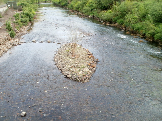
Image: © Jaggery Taken: 6 May 2011
Viewed from a footbridge. http://www.geograph.org.uk/photo/2396817 http://www.geograph.org.uk/photo/2396842 to a view upstream. After a prolonged dry spell through March and April, the Rhondda is at a low level in this view taken on May 6th 2011.
Images are licensed for reuse under creativecommons.org/licenses/by-sa/2.0
Image Location
Latitude
51.608857
Longitude
-3.37617