A128 Cycle Path
Introduction
The photograph on this page of A128 Cycle Path by Glyn Baker as part of the Geograph project.
The Geograph project started in 2005 with the aim of publishing, organising and preserving representative images for every square kilometre of Great Britain, Ireland and the Isle of Man.

There are currently over 7.5m images from over 14,400 individuals and you can help contribute to the project by visiting https://www.geograph.org.uk
A128 Cycle Path
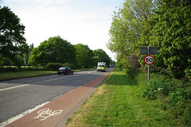
Image: © Glyn Baker Taken: 6 May 2011
I once tackled a Thurrock Council official by asking how they expected red tarmac to protect cyclists from speeding motorists? There was no satisfactory answer other than "it is all we can afford to do".
Images are licensed for reuse under creativecommons.org/licenses/by-sa/2.0
Image Location
Latitude
51.51742
Longitude
0.380863