The M2 (hill section), Belfast (3)
Introduction
The photograph on this page of The M2 (hill section), Belfast (3) by Albert Bridge as part of the Geograph project.
The Geograph project started in 2005 with the aim of publishing, organising and preserving representative images for every square kilometre of Great Britain, Ireland and the Isle of Man.

There are currently over 7.5m images from over 14,400 individuals and you can help contribute to the project by visiting https://www.geograph.org.uk
The M2 (hill section), Belfast (3)
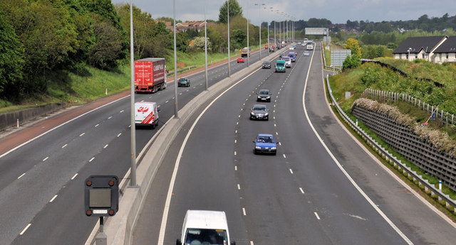
Image: © Albert Bridge Taken: 6 May 2011
It’s almost three years since my last look at the hill section, at a time when a third lane Image was being added to the inward (downhill) lanes. This view is northwards (to Sandyknowes) from the Colin Bridge beside the Whitewell Road. Continue to Image
Images are licensed for reuse under creativecommons.org/licenses/by-sa/2.0
Image Location
Latitude
54.655196
Longitude
-5.930695