Playing fields at the end of Croft rd
Introduction
The photograph on this page of Playing fields at the end of Croft rd by C as part of the Geograph project.
The Geograph project started in 2005 with the aim of publishing, organising and preserving representative images for every square kilometre of Great Britain, Ireland and the Isle of Man.

There are currently over 7.5m images from over 14,400 individuals and you can help contribute to the project by visiting https://www.geograph.org.uk
Playing fields at the end of Croft rd
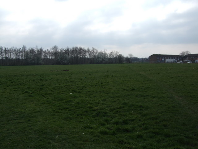
Image: © C Taken: 6 May 2011
Same location as previous pic only looking towards Maple rd in Brooklands in the distance and Buxton crescent to the right.
Images are licensed for reuse under creativecommons.org/licenses/by-sa/2.0
Image Location
Latitude
53.411286
Longitude
-2.302792