Kinghorn Bay
Introduction
The photograph on this page of Kinghorn Bay by Bob Jones as part of the Geograph project.
The Geograph project started in 2005 with the aim of publishing, organising and preserving representative images for every square kilometre of Great Britain, Ireland and the Isle of Man.

There are currently over 7.5m images from over 14,400 individuals and you can help contribute to the project by visiting https://www.geograph.org.uk
Kinghorn Bay
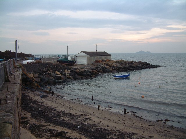
Image: © Bob Jones Taken: 11 Nov 2003
Not a harbour in the true sense; just a bay with a slipway for local fishing craft.
Images are licensed for reuse under creativecommons.org/licenses/by-sa/2.0
Image Location


Leaflet Map data © OpenStreetMap
Latitude
56.068438
Longitude
-3.174127