Snape Mires
Introduction
The photograph on this page of Snape Mires by Gordon Hatton as part of the Geograph project.
The Geograph project started in 2005 with the aim of publishing, organising and preserving representative images for every square kilometre of Great Britain, Ireland and the Isle of Man.

There are currently over 7.5m images from over 14,400 individuals and you can help contribute to the project by visiting https://www.geograph.org.uk
Snape Mires
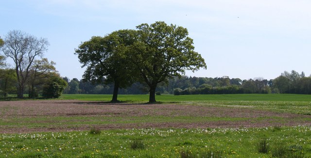
Image: © Gordon Hatton Taken: 4 May 2011
Drained marshland between Snape and Exelby. Chris Heaton [see photos] suggests the wearing of wellingtons in this area, but in May 2011 it was as dry as the proverbial bone and was easily walked in trainers.
Images are licensed for reuse under creativecommons.org/licenses/by-sa/2.0
Image Location
Latitude
54.26546
Longitude
-1.566241