Poplar House
Introduction
The photograph on this page of Poplar House by Derek Harper as part of the Geograph project.
The Geograph project started in 2005 with the aim of publishing, organising and preserving representative images for every square kilometre of Great Britain, Ireland and the Isle of Man.

There are currently over 7.5m images from over 14,400 individuals and you can help contribute to the project by visiting https://www.geograph.org.uk
Poplar House
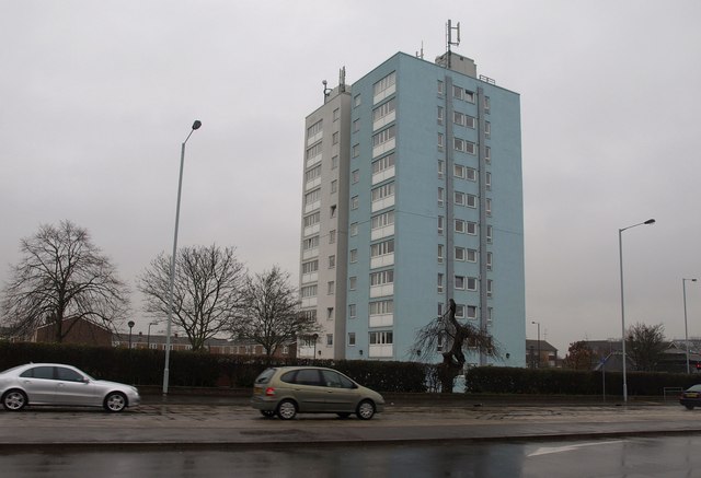
Image: © Derek Harper Taken: 10 Feb 2011
This block of 42 flats overlooks the junction of Langley High Street with the A4 London Road (foreground).
Images are licensed for reuse under creativecommons.org/licenses/by-sa/2.0
Image Location
Latitude
51.494293
Longitude
-0.548246