A4043 heads NW away from Pontypool
Introduction
The photograph on this page of A4043 heads NW away from Pontypool by Jaggery as part of the Geograph project.
The Geograph project started in 2005 with the aim of publishing, organising and preserving representative images for every square kilometre of Great Britain, Ireland and the Isle of Man.

There are currently over 7.5m images from over 14,400 individuals and you can help contribute to the project by visiting https://www.geograph.org.uk
A4043 heads NW away from Pontypool
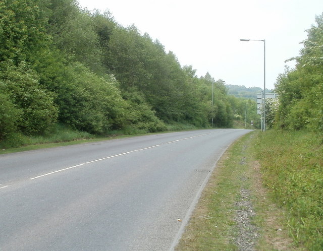
Image: © Jaggery Taken: 4 May 2011
Viewed from the edge of Riverside Roundabout. http://www.geograph.org.uk/photo/2395265 The A4043 heads for Blaenavon, via Abersychan and Cwmavon.
Images are licensed for reuse under creativecommons.org/licenses/by-sa/2.0
Image Location
Latitude
51.707546
Longitude
-3.049185