Woodvale Road Eglinton
Introduction
The photograph on this page of Woodvale Road Eglinton by Rod Allday as part of the Geograph project.
The Geograph project started in 2005 with the aim of publishing, organising and preserving representative images for every square kilometre of Great Britain, Ireland and the Isle of Man.

There are currently over 7.5m images from over 14,400 individuals and you can help contribute to the project by visiting https://www.geograph.org.uk
Woodvale Road Eglinton
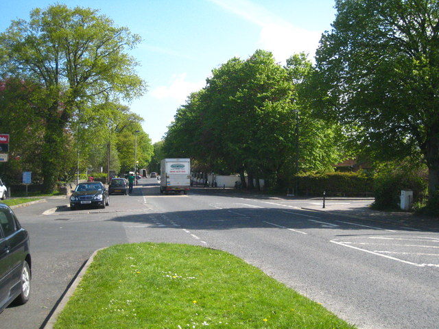
Image: © Rod Allday Taken: 26 Apr 2011
As part of the Plantation of Ulster, James I had granted a large area of Faughanvale parish to the Grocers’ Company of London. The Grocers’ Company founded this plantation township, originally known as Muff, in 1619. In 1858 residents petitioned to change its name to avoid confusion with Muff in nearby Donegal. They chose Eglinton in honour of the 13th Earl, Lord Lieutenant of Ireland.
Images are licensed for reuse under creativecommons.org/licenses/by-sa/2.0
Image Location
Latitude
55.026811
Longitude
-7.179211