Road near Aberchirder
Introduction
The photograph on this page of Road near Aberchirder by Des Colhoun as part of the Geograph project.
The Geograph project started in 2005 with the aim of publishing, organising and preserving representative images for every square kilometre of Great Britain, Ireland and the Isle of Man.

There are currently over 7.5m images from over 14,400 individuals and you can help contribute to the project by visiting https://www.geograph.org.uk
Road near Aberchirder
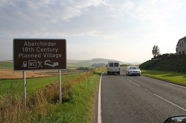
Image: © Des Colhoun Taken: 13 Sep 2006
Aberchirder is known locally as Foggieloan. More background on the history of the alternative names can be found here: http://www.foggieloan.co.uk/43foundation/foundation.htm
Images are licensed for reuse under creativecommons.org/licenses/by-sa/2.0
Image Location
Latitude
57.561971
Longitude
-2.618399