Baguley Brook
Introduction
The photograph on this page of Baguley Brook by C as part of the Geograph project.
The Geograph project started in 2005 with the aim of publishing, organising and preserving representative images for every square kilometre of Great Britain, Ireland and the Isle of Man.

There are currently over 7.5m images from over 14,400 individuals and you can help contribute to the project by visiting https://www.geograph.org.uk
Baguley Brook
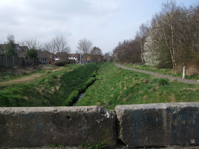
Image: © C Taken: 5 May 2011
A view of Baguley Brook towards Brooklands. Taken from the footbridge that used to lead to Woodwise Farm and Wythenshawe Road.
Images are licensed for reuse under creativecommons.org/licenses/by-sa/2.0
Image Location
Latitude
53.408332
Longitude
-2.297957