Auchincarroch Road
Introduction
The photograph on this page of Auchincarroch Road by Lairich Rig as part of the Geograph project.
The Geograph project started in 2005 with the aim of publishing, organising and preserving representative images for every square kilometre of Great Britain, Ireland and the Isle of Man.

There are currently over 7.5m images from over 14,400 individuals and you can help contribute to the project by visiting https://www.geograph.org.uk
Auchincarroch Road
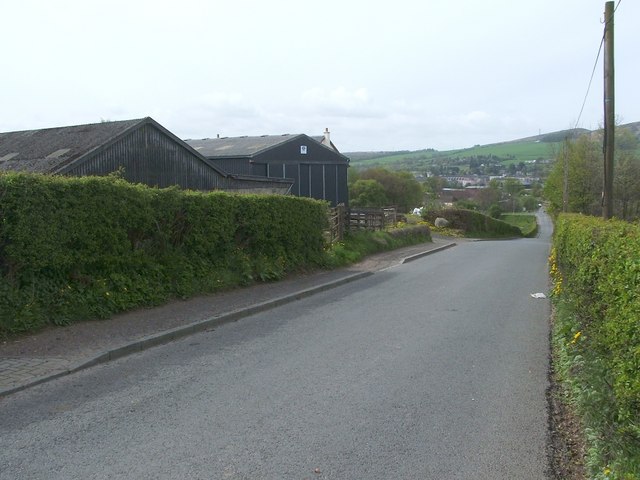
Image: © Lairich Rig Taken: 22 Apr 2011
This is the same section of road as shown in Image, viewed in the opposite direction. The buildings of Woodside Farm are on the left (Image). For the more distant parts of the road, see Image
Images are licensed for reuse under creativecommons.org/licenses/by-sa/2.0
Image Location
Latitude
55.994325
Longitude
-4.56527