Lane above Poppit Sands
Introduction
The photograph on this page of Lane above Poppit Sands by Jeremy Bolwell as part of the Geograph project.
The Geograph project started in 2005 with the aim of publishing, organising and preserving representative images for every square kilometre of Great Britain, Ireland and the Isle of Man.

There are currently over 7.5m images from over 14,400 individuals and you can help contribute to the project by visiting https://www.geograph.org.uk
Lane above Poppit Sands
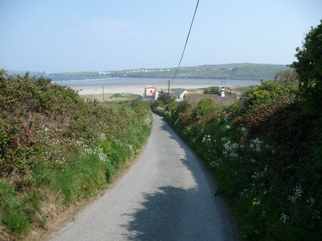
Image: © Jeremy Bolwell Taken: 30 Apr 2011
The lane rises as it climbs towards Cemaes Head and offers the first of many enticing views of the wide expanses of Poppit Sands.
Images are licensed for reuse under creativecommons.org/licenses/by-sa/2.0
Image Location


Leaflet Map data © OpenStreetMap
Latitude
52.103946
Longitude
-4.70075