Plaque marking the opening of the Pembrokeshire Coast Path
Introduction
The photograph on this page of Plaque marking the opening of the Pembrokeshire Coast Path by Jeremy Bolwell as part of the Geograph project.
The Geograph project started in 2005 with the aim of publishing, organising and preserving representative images for every square kilometre of Great Britain, Ireland and the Isle of Man.

There are currently over 7.5m images from over 14,400 individuals and you can help contribute to the project by visiting https://www.geograph.org.uk
Plaque marking the opening of the Pembrokeshire Coast Path
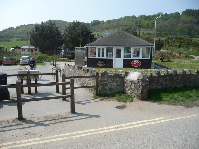
Image: © Jeremy Bolwell Taken: 30 Apr 2011
At the north-western end of the free National Park car park at Poppit Sands stands a cafe with outside picnic tables. Adjacent to the entrance here is a plaque marking the opening of the Pembrokeshire Coast Long Distance Footpath back in 1970, by Welsh broadcaster (and walker) Wynford Vaughan-Thomas. How delighted would he be to know what a popular LDF this has become?
Images are licensed for reuse under creativecommons.org/licenses/by-sa/2.0
Image Location


Leaflet Map data © OpenStreetMap
Latitude
52.104236
Longitude
-4.699891