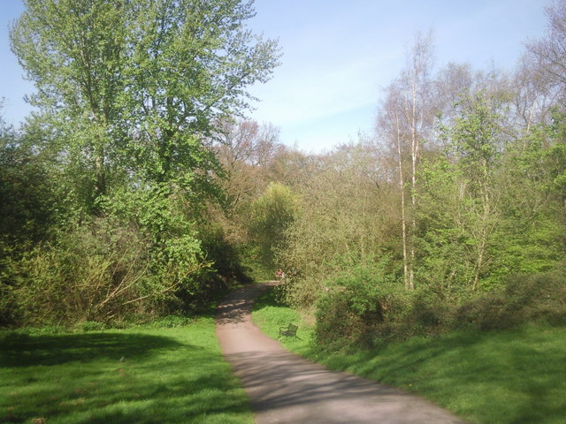
The way into Maryon Wilson Park
Introduction
The photograph on this page of The way into Maryon Wilson Park by Marathon as part of the Geograph project.
The Geograph project started in 2005 with the aim of publishing, organising and preserving representative images for every square kilometre of Great Britain, Ireland and the Isle of Man.
There are currently over 7.5m images from over 14,400 individuals and you can help contribute to the project by visiting https://www.geograph.org.uk

Image: © Marathon Taken: 7 Apr 2011
The land now taken up by Maryon Wilson Park was once part of the Hanging Wood which originally stretched from Woolwich Common to Charlton and which provided shelter for the highwaymen of Shooters Hill and Blackheath. Samuel Pepys often told of his dread of Hanging Wood when he was obliged to travel to Woolwich. Although still woodland it is rather more peaceful nowadays. The path followed by the Green Chain Walk and Capital Ring climbs steadily from the Thames through Maryon Park and then Maryon Wilson Park to reach the exit opposite Cemetery Lane. This view looks down the hill from that entrance.

