New housing development at Sudbrook
Introduction
The photograph on this page of New housing development at Sudbrook by Simon Mortimer as part of the Geograph project.
The Geograph project started in 2005 with the aim of publishing, organising and preserving representative images for every square kilometre of Great Britain, Ireland and the Isle of Man.

There are currently over 7.5m images from over 14,400 individuals and you can help contribute to the project by visiting https://www.geograph.org.uk
New housing development at Sudbrook
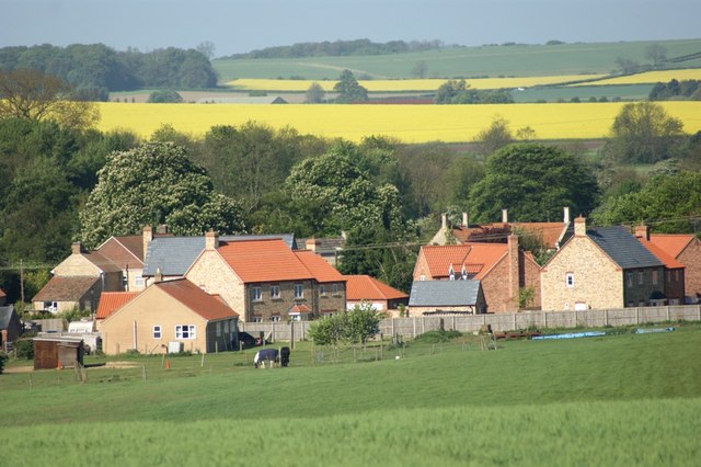
Image: © Simon Mortimer Taken: 1 May 2011
Looking down the hill to the edge of the village from Fir Tree Lane. The new houses have been built on the former site of Manor Farm. A new farm yard has been built in the field 300m away (see Image).
Images are licensed for reuse under creativecommons.org/licenses/by-sa/2.0
Image Location


Leaflet Map data © OpenStreetMap
Latitude
52.98938
Longitude
-0.552848