Park homes south of Bovey Tracey
Introduction
The photograph on this page of Park homes south of Bovey Tracey by David Smith as part of the Geograph project.
The Geograph project started in 2005 with the aim of publishing, organising and preserving representative images for every square kilometre of Great Britain, Ireland and the Isle of Man.

There are currently over 7.5m images from over 14,400 individuals and you can help contribute to the project by visiting https://www.geograph.org.uk
Park homes south of Bovey Tracey
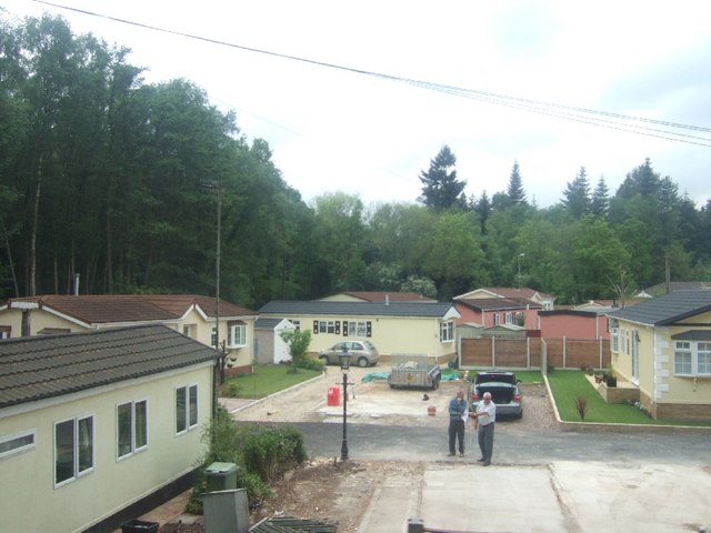
Image: © David Smith Taken: 3 May 2011
The park homes occupy a triangular site between the Old Newton Road, the A392 and Bovey Heath
Images are licensed for reuse under creativecommons.org/licenses/by-sa/2.0
Image Location
Latitude
50.580928
Longitude
-3.670288