Field on the eastern edge of Bovey Tracey
Introduction
The photograph on this page of Field on the eastern edge of Bovey Tracey by David Smith as part of the Geograph project.
The Geograph project started in 2005 with the aim of publishing, organising and preserving representative images for every square kilometre of Great Britain, Ireland and the Isle of Man.

There are currently over 7.5m images from over 14,400 individuals and you can help contribute to the project by visiting https://www.geograph.org.uk
Field on the eastern edge of Bovey Tracey
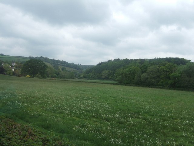
Image: © David Smith Taken: 3 May 2011
The town extends to the edge of this field and some houses can be seen through the distant trees.
Images are licensed for reuse under creativecommons.org/licenses/by-sa/2.0
Image Location
Latitude
50.589807
Longitude
-3.659441