Footpath towards Wickhurst Farm
Introduction
The photograph on this page of Footpath towards Wickhurst Farm by David Anstiss as part of the Geograph project.
The Geograph project started in 2005 with the aim of publishing, organising and preserving representative images for every square kilometre of Great Britain, Ireland and the Isle of Man.

There are currently over 7.5m images from over 14,400 individuals and you can help contribute to the project by visiting https://www.geograph.org.uk
Footpath towards Wickhurst Farm
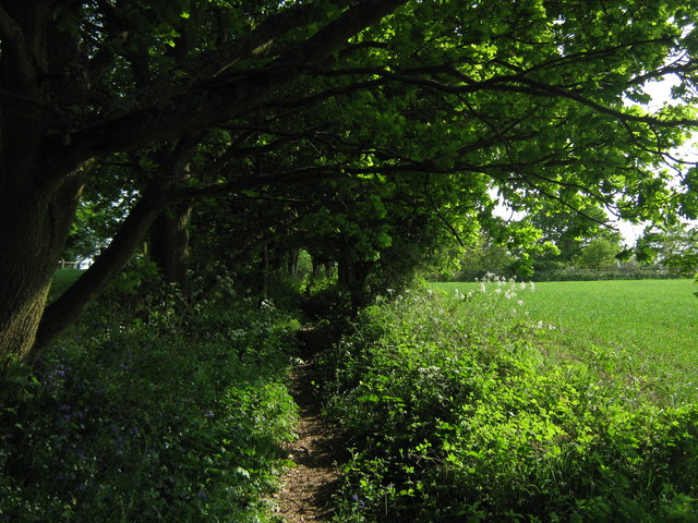
Image: © David Anstiss Taken: 1 May 2011
A path leads from the B2169 Bayham Road, past Sluice Wood and towards the farm before heading towards Buss's Green.
Images are licensed for reuse under creativecommons.org/licenses/by-sa/2.0
Image Location
Latitude
51.094277
Longitude
0.33635