Stoke Bruerne wharfside.
Introduction
The photograph on this page of Stoke Bruerne wharfside. by Stuart Logan as part of the Geograph project.
The Geograph project started in 2005 with the aim of publishing, organising and preserving representative images for every square kilometre of Great Britain, Ireland and the Isle of Man.

There are currently over 7.5m images from over 14,400 individuals and you can help contribute to the project by visiting https://www.geograph.org.uk
Stoke Bruerne wharfside.
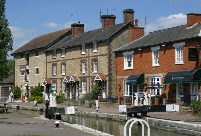
Image: © Stuart Logan Taken: 3 May 2011
The top lock No. 14 has its head gates open ready for barges to begin the descent of the flight. That comprises 7 locks, descending a total of 17 metres from this level. Behind the lock is the canal museum.
Images are licensed for reuse under creativecommons.org/licenses/by-sa/2.0
Image Location


Leaflet Map data © OpenStreetMap
Latitude
52.142844
Longitude
-0.914511