Boarded-up Up & Under, Pontypool
Introduction
The photograph on this page of Boarded-up Up & Under, Pontypool by Jaggery as part of the Geograph project.
The Geograph project started in 2005 with the aim of publishing, organising and preserving representative images for every square kilometre of Great Britain, Ireland and the Isle of Man.

There are currently over 7.5m images from over 14,400 individuals and you can help contribute to the project by visiting https://www.geograph.org.uk
Boarded-up Up & Under, Pontypool
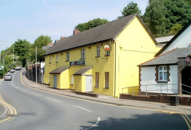
Image: © Jaggery Taken: 4 May 2011
A former pub on Park Road, next door to a Salvation Army Citadel. http://www.geograph.org.uk/photo/1853971 All the downstairs windows of the closed pub are boarded up, except for one, which has been bricked up. Curiously, the image of the pub on Google Earth, taken some time before this one, shows the pub boarded-up, but painted white...
Images are licensed for reuse under creativecommons.org/licenses/by-sa/2.0
Image Location
Latitude
51.704014
Longitude
-3.041867