View towards Highfield Plantation
Introduction
The photograph on this page of View towards Highfield Plantation by Jonathan Thacker as part of the Geograph project.
The Geograph project started in 2005 with the aim of publishing, organising and preserving representative images for every square kilometre of Great Britain, Ireland and the Isle of Man.

There are currently over 7.5m images from over 14,400 individuals and you can help contribute to the project by visiting https://www.geograph.org.uk
View towards Highfield Plantation
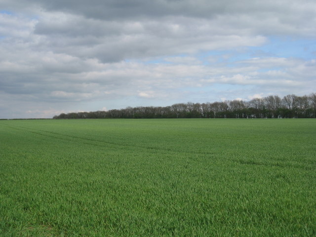
Image: © Jonathan Thacker Taken: 26 Apr 2010
Highfield Plantation is a narrow strip of trees that runs approximately along the low watershed between the Creek Drain and the South Kelsey Drain.
Images are licensed for reuse under creativecommons.org/licenses/by-sa/2.0
Image Location


Leaflet Map data © OpenStreetMap
Latitude
53.484964
Longitude
-0.444402