Wedmore Rd, Cardiff
Introduction
The photograph on this page of Wedmore Rd, Cardiff by John Lord as part of the Geograph project.
The Geograph project started in 2005 with the aim of publishing, organising and preserving representative images for every square kilometre of Great Britain, Ireland and the Isle of Man.

There are currently over 7.5m images from over 14,400 individuals and you can help contribute to the project by visiting https://www.geograph.org.uk
Wedmore Rd, Cardiff
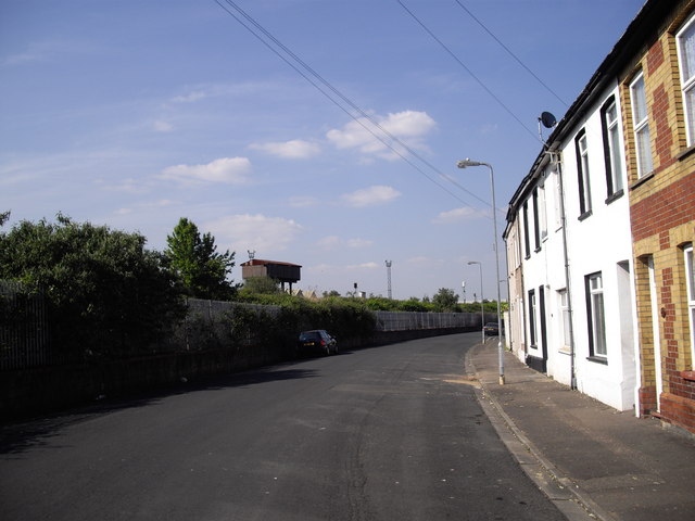
Image: © John Lord Taken: 3 May 2011
The road follows the curve of the railway line. The water-tower is near the point where the line from Cardiff Central forks, one branch going to Grangetown Station, the other to Ninian Park Station.
Images are licensed for reuse under creativecommons.org/licenses/by-sa/2.0
Image Location
Latitude
51.473471
Longitude
-3.19254