Road to Pleasley Park
Introduction
The photograph on this page of Road to Pleasley Park by Michael Patterson as part of the Geograph project.
The Geograph project started in 2005 with the aim of publishing, organising and preserving representative images for every square kilometre of Great Britain, Ireland and the Isle of Man.

There are currently over 7.5m images from over 14,400 individuals and you can help contribute to the project by visiting https://www.geograph.org.uk
Road to Pleasley Park
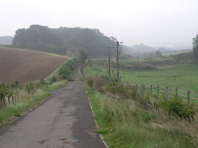
Image: © Michael Patterson Taken: 12 Sep 2006
This track is now a bridleway but the 1940s OS map shows it as a road which lead to Pleasley Park and the cotton mills there. Image The stonework to the left of the track is an old railway bridge support.
Images are licensed for reuse under creativecommons.org/licenses/by-sa/2.0
Image Location
Latitude
53.185049
Longitude
-1.236767