Dwellings, Windmill Street
Introduction
The photograph on this page of Dwellings, Windmill Street by Robin Stott as part of the Geograph project.
The Geograph project started in 2005 with the aim of publishing, organising and preserving representative images for every square kilometre of Great Britain, Ireland and the Isle of Man.

There are currently over 7.5m images from over 14,400 individuals and you can help contribute to the project by visiting https://www.geograph.org.uk
Dwellings, Windmill Street
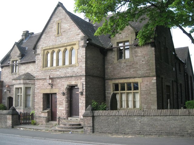
Image: © Robin Stott Taken: 28 Apr 2011
The location just west of St Peter's Church suggests that this is a former rectory. It is as big as the church but maybe there was a church hall or school building at the rear.
Images are licensed for reuse under creativecommons.org/licenses/by-sa/2.0
Image Location
Latitude
53.253321
Longitude
-2.118517