White Hart Lane, Woodstreet
Introduction
The photograph on this page of White Hart Lane, Woodstreet by Alan Hunt as part of the Geograph project.
The Geograph project started in 2005 with the aim of publishing, organising and preserving representative images for every square kilometre of Great Britain, Ireland and the Isle of Man.

There are currently over 7.5m images from over 14,400 individuals and you can help contribute to the project by visiting https://www.geograph.org.uk
White Hart Lane, Woodstreet
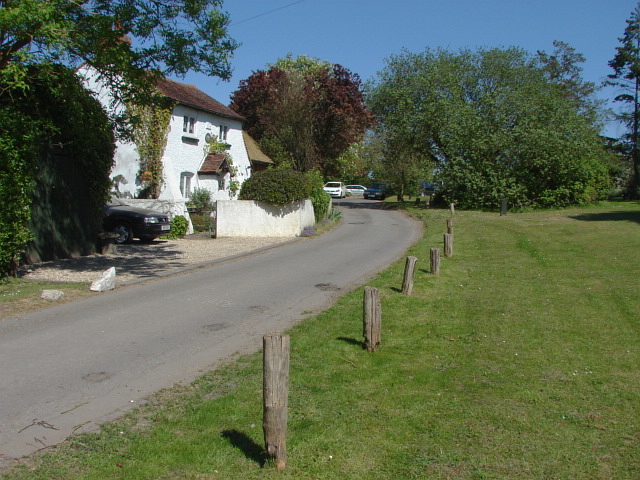
Image: © Alan Hunt Taken: 2 May 2011
The lane is named after the pub which is just beyond the cottage. The cottage has a plaster plaque with the date 1672 between the upper windows.
Images are licensed for reuse under creativecommons.org/licenses/by-sa/2.0
Image Location
Latitude
51.249695
Longitude
-0.637348