Fen End
Introduction
The photograph on this page of Fen End by Nigel Mykura as part of the Geograph project.
The Geograph project started in 2005 with the aim of publishing, organising and preserving representative images for every square kilometre of Great Britain, Ireland and the Isle of Man.

There are currently over 7.5m images from over 14,400 individuals and you can help contribute to the project by visiting https://www.geograph.org.uk
Fen End
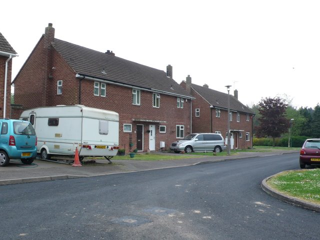
Image: © Nigel Mykura Taken: 28 Apr 2011
The small cluster of houses at Fen End were originally associated with the RAF station connected to the nearby airfield. There is now no military involvement and the airfield is an automotive proving ground belonging to Prodrive.
Images are licensed for reuse under creativecommons.org/licenses/by-sa/2.0
Image Location


Leaflet Map data © OpenStreetMap
Latitude
52.365297
Longitude
-1.668347