Dry moat at Moat Plantation
Introduction
The photograph on this page of Dry moat at Moat Plantation by Richard Law as part of the Geograph project.
The Geograph project started in 2005 with the aim of publishing, organising and preserving representative images for every square kilometre of Great Britain, Ireland and the Isle of Man.

There are currently over 7.5m images from over 14,400 individuals and you can help contribute to the project by visiting https://www.geograph.org.uk
Dry moat at Moat Plantation
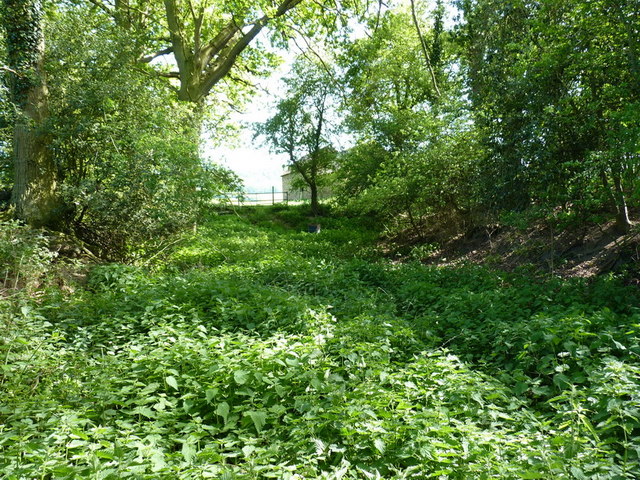
Image: © Richard Law Taken: 2 May 2011
The maps show water in this ditch, although it's as dry as a bone at the moment, and must rarely flood. It's clearly a moat, but proving hard to come by any information on the historical context.
Images are licensed for reuse under creativecommons.org/licenses/by-sa/2.0
Image Location


Leaflet Map data © OpenStreetMap
Latitude
52.61777
Longitude
-2.579397