Two ways to go [2]
Introduction
The photograph on this page of Two ways to go [2] by Michael Dibb as part of the Geograph project.
The Geograph project started in 2005 with the aim of publishing, organising and preserving representative images for every square kilometre of Great Britain, Ireland and the Isle of Man.

There are currently over 7.5m images from over 14,400 individuals and you can help contribute to the project by visiting https://www.geograph.org.uk
Two ways to go [2]
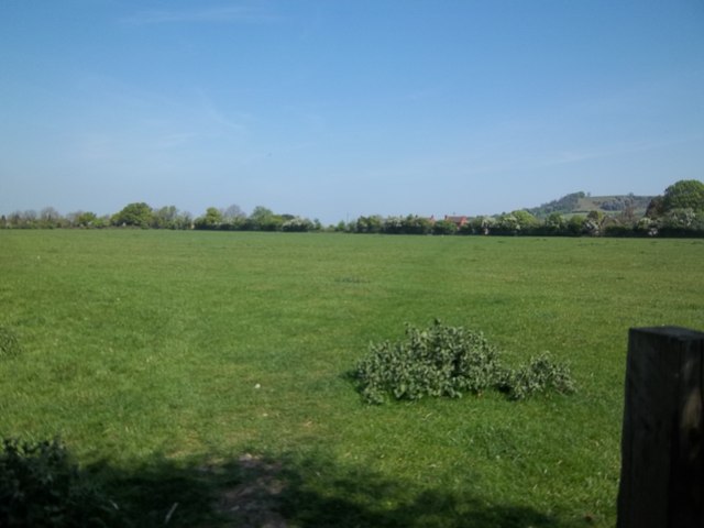
Image: © Michael Dibb Taken: 23 Apr 2011
At the edge of the playing field, the path makes a 'T' junction. To the right, this path, part of the Heart of England Way runs across the field towards the B4632 road.
Images are licensed for reuse under creativecommons.org/licenses/by-sa/2.0
Image Location
Latitude
52.094023
Longitude
-1.766407