Tarsets Farm
Introduction
The photograph on this page of Tarsets Farm by Andrew Wood as part of the Geograph project.
The Geograph project started in 2005 with the aim of publishing, organising and preserving representative images for every square kilometre of Great Britain, Ireland and the Isle of Man.

There are currently over 7.5m images from over 14,400 individuals and you can help contribute to the project by visiting https://www.geograph.org.uk
Tarsets Farm
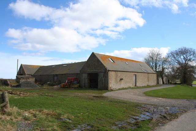
Image: © Andrew Wood Taken: 2 Apr 2011
Run as a subsidiary farm to Tipperty this was once a bust farm in its own right with a full cornyard now more neglected looking.
Images are licensed for reuse under creativecommons.org/licenses/by-sa/2.0
Image Location
Latitude
57.338369
Longitude
-2.057462