Cornfield in Wokefield
Introduction
The photograph on this page of Cornfield in Wokefield by Pam Brophy as part of the Geograph project.
The Geograph project started in 2005 with the aim of publishing, organising and preserving representative images for every square kilometre of Great Britain, Ireland and the Isle of Man.

There are currently over 7.5m images from over 14,400 individuals and you can help contribute to the project by visiting https://www.geograph.org.uk
Cornfield in Wokefield
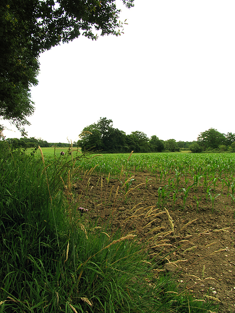
Image: © Pam Brophy Taken: 4 Jul 2005
This square is difficult to access on foot as there are no footpaths and very few safe places to stop/park. There are minor roads but the hedgerows are so tall this time of the year it's difficult to see the land behind them! The square is mostly farmland.
Images are licensed for reuse under creativecommons.org/licenses/by-sa/2.0
Image Location
Latitude
51.393532
Longitude
-1.031221