Dressed stone wall boundary of the estate of Northern Ireland Water
Introduction
The photograph on this page of Dressed stone wall boundary of the estate of Northern Ireland Water by Eric Jones as part of the Geograph project.
The Geograph project started in 2005 with the aim of publishing, organising and preserving representative images for every square kilometre of Great Britain, Ireland and the Isle of Man.

There are currently over 7.5m images from over 14,400 individuals and you can help contribute to the project by visiting https://www.geograph.org.uk
Dressed stone wall boundary of the estate of Northern Ireland Water
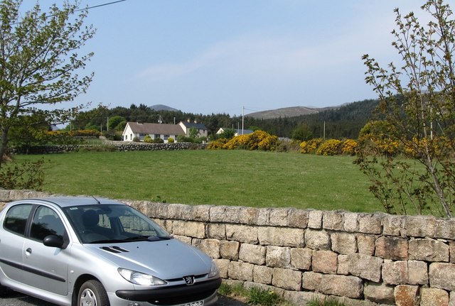
Image: © Eric Jones Taken: 29 Apr 2011
This contrasts with the "single" stone wall on nearby land. Image
Images are licensed for reuse under creativecommons.org/licenses/by-sa/2.0
Image Location
Latitude
54.132038
Longitude
-5.923515