Swindon Skyline
Introduction
The photograph on this page of Swindon Skyline by Martin Elliott as part of the Geograph project.
The Geograph project started in 2005 with the aim of publishing, organising and preserving representative images for every square kilometre of Great Britain, Ireland and the Isle of Man.

There are currently over 7.5m images from over 14,400 individuals and you can help contribute to the project by visiting https://www.geograph.org.uk
Swindon Skyline
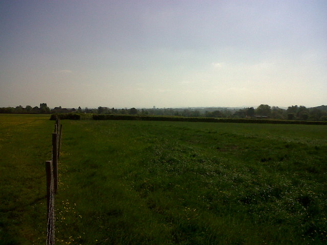
Image: © Martin Elliott Taken: 28 Apr 2011
Although the immediate vicinity feels very rural, you can make out the Swindon skyline to the east.
Images are licensed for reuse under creativecommons.org/licenses/by-sa/2.0
Image Location
Latitude
51.568189
Longitude
-1.851635