Haylind Road
Introduction
The photograph on this page of Haylind Road by Simon Carey as part of the Geograph project.
The Geograph project started in 2005 with the aim of publishing, organising and preserving representative images for every square kilometre of Great Britain, Ireland and the Isle of Man.

There are currently over 7.5m images from over 14,400 individuals and you can help contribute to the project by visiting https://www.geograph.org.uk
Haylind Road
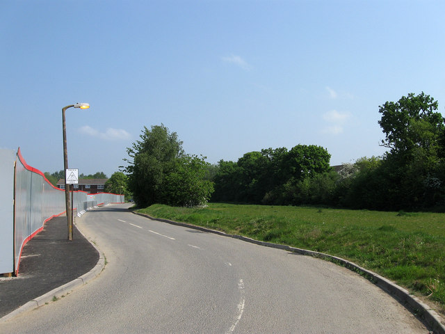
Image: © Simon Carey Taken: 30 Apr 2011
Built as part of the late 1960s Wilmington Way estate which has now been demolished and is currently in the process of redevelopment beyond the grey board fences on the left. The road is still in use as the flats at the northern end of the estate, see Image, are being kept. Whether the road retains the name is a moot point as the name plate has been removed from the sign at the junction with Hanbury Lane. The small green area to the right was often used as a play area and may still be kept as such.
Images are licensed for reuse under creativecommons.org/licenses/by-sa/2.0
Image Location
Latitude
51.003079
Longitude
-0.083447