Washington Road
Introduction
The photograph on this page of Washington Road by Simon Carey as part of the Geograph project.
The Geograph project started in 2005 with the aim of publishing, organising and preserving representative images for every square kilometre of Great Britain, Ireland and the Isle of Man.

There are currently over 7.5m images from over 14,400 individuals and you can help contribute to the project by visiting https://www.geograph.org.uk
Washington Road
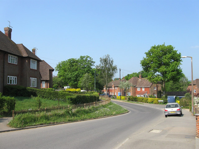
Image: © Simon Carey Taken: 30 Apr 2011
Along with Penn Crescent the road was developed after the Second World War on the site of Bent's Wood linking up Oathall Avenue and the junctions of Barn Cottage Lane and Hanbury Lane.
Images are licensed for reuse under creativecommons.org/licenses/by-sa/2.0
Image Location
Latitude
51.003151
Longitude
-0.087863