Footpath to Franklands Village
Introduction
The photograph on this page of Footpath to Franklands Village by Simon Carey as part of the Geograph project.
The Geograph project started in 2005 with the aim of publishing, organising and preserving representative images for every square kilometre of Great Britain, Ireland and the Isle of Man.

There are currently over 7.5m images from over 14,400 individuals and you can help contribute to the project by visiting https://www.geograph.org.uk
Footpath to Franklands Village
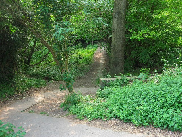
Image: © Simon Carey Taken: 30 Apr 2011
Running between Eastern Road and Reed Pond Walk the path drops down to cross a small unnamed tributary of Scrase Stream before climbing again. The stream was until 1934 the old parish boundary between Cuckfield on this side and Wivelsfield the other. The small wooded area here is the last remaining remnant of a huge swathe of woodland that was located between two former commons, Haywards Heath and Lyoth Common. Petland Wood, this side of the stream, was swallowed up the interwar expansion of Haywards Heath, Franklands Wood on the other side of the stream went in the 1930s when Franklands Village was developed and Northlands Wood disappeared in the 1970s and 80s to more housing development.
Images are licensed for reuse under creativecommons.org/licenses/by-sa/2.0
Image Location
Latitude
50.996261
Longitude
-0.089999