Thames Path near Tripcock Ness
Introduction
The photograph on this page of Thames Path near Tripcock Ness by Marathon as part of the Geograph project.
The Geograph project started in 2005 with the aim of publishing, organising and preserving representative images for every square kilometre of Great Britain, Ireland and the Isle of Man.

There are currently over 7.5m images from over 14,400 individuals and you can help contribute to the project by visiting https://www.geograph.org.uk
Thames Path near Tripcock Ness
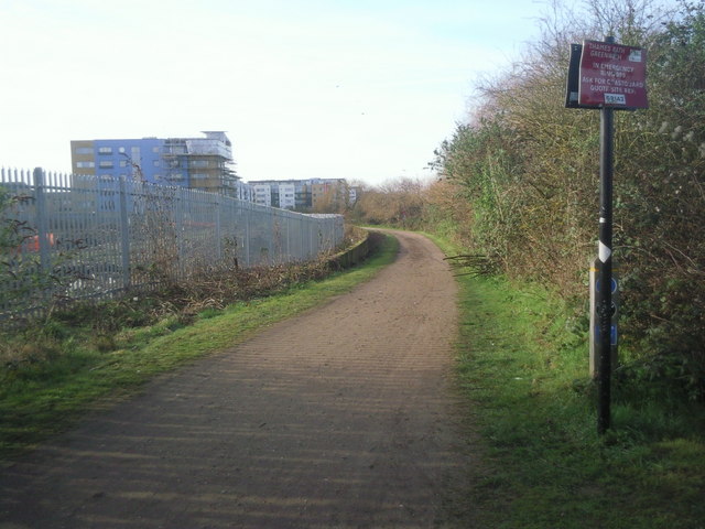
Image: © Marathon Taken: 11 Mar 2011
After rounding Tripcock Ness, through a section of Thamesmead which is as yet undeveloped, the Thames Path heads for the newly-built Royal Arsenal development.
Images are licensed for reuse under creativecommons.org/licenses/by-sa/2.0
Image Location
Latitude
51.505621
Longitude
0.089302