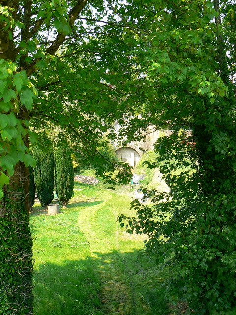
Trackbed of the Holt to Patney railway, Devizes (1 of 2)
Introduction
The photograph on this page of Trackbed of the Holt to Patney railway, Devizes (1 of 2) by Brian Robert Marshall as part of the Geograph project.
The Geograph project started in 2005 with the aim of publishing, organising and preserving representative images for every square kilometre of Great Britain, Ireland and the Isle of Man.
There are currently over 7.5m images from over 14,400 individuals and you can help contribute to the project by visiting https://www.geograph.org.uk

Image: © Brian Robert Marshall Taken: 30 Apr 2011
The railway started its working life in 1857 when the railway first envisaged by the short-lived Wiltshire, Somerset and Weymouth Railway as far back as 1845 finally opened (by 1854 when construction started, the WS&WR had been absorbed into the Great Western Railway). At that time the line from Holt Junction, to the west on the still-extant main line from Chippenham and points east to Trowbridge and points west, to Devizes terminated in the town. However, five years on, in 1862, the line was extended to Patney and Chirton on the, again still open, main line between Newbury and Westbury so that the former branch line provided a through route. Topography necessitated the construction of a tunnel under Devizes Castle, the blocked-up east portal of which can be seen in this image. The railway had its ups and downs and was particularly busy in the second world war. Some troops from the retreat of Dunkirk passed through Devizes Station as did many enemy prisoners of war. Following the end of hostilities the line went into decline as road traffic grew and the last passenger train left Devizes on 16 April 1966. This section of trackbed seems to be in private hands although there is a public footpath carried by a bridge over the line which provided the viewpoint. The information above was found in 'Wiltshire Railway Stations' by Mike Oakley published by the Dovecote Press in 2004 ISBN 1 904349 33 1.

