Looking to Scarhead House from Conland Farm
Introduction
The photograph on this page of Looking to Scarhead House from Conland Farm by Iain A Robertson as part of the Geograph project.
The Geograph project started in 2005 with the aim of publishing, organising and preserving representative images for every square kilometre of Great Britain, Ireland and the Isle of Man.

There are currently over 7.5m images from over 14,400 individuals and you can help contribute to the project by visiting https://www.geograph.org.uk
Looking to Scarhead House from Conland Farm
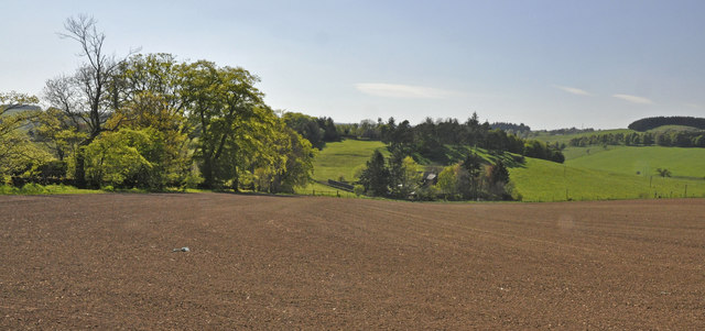
Image: © Iain A Robertson Taken: 1 May 2011
This lies in the eastern section of Glenfarg; two bridges now join the eastern and western sections of the Glenfarg community, separated by the M90.
Images are licensed for reuse under creativecommons.org/licenses/by-sa/2.0
Image Location
Latitude
56.285718
Longitude
-3.389171