Road to Kingcoed from Raglan
Introduction
The photograph on this page of Road to Kingcoed from Raglan by Jaggery as part of the Geograph project.
The Geograph project started in 2005 with the aim of publishing, organising and preserving representative images for every square kilometre of Great Britain, Ireland and the Isle of Man.

There are currently over 7.5m images from over 14,400 individuals and you can help contribute to the project by visiting https://www.geograph.org.uk
Road to Kingcoed from Raglan
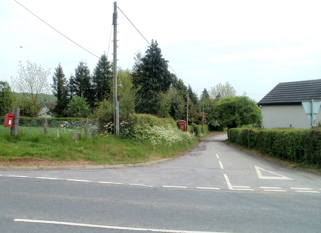
Image: © Jaggery Taken: 1 May 2011
At the NE edge of Raglan, the road south to Kingcoed heads away from Monmouth Road. The road is not named on any of several maps I've consulted, but local estate agents use the name "Elms Road".
Images are licensed for reuse under creativecommons.org/licenses/by-sa/2.0
Image Location
Latitude
51.772225
Longitude
-2.831838