The White Lyne
Introduction
The photograph on this page of The White Lyne by Oliver Dixon as part of the Geograph project.
The Geograph project started in 2005 with the aim of publishing, organising and preserving representative images for every square kilometre of Great Britain, Ireland and the Isle of Man.

There are currently over 7.5m images from over 14,400 individuals and you can help contribute to the project by visiting https://www.geograph.org.uk
The White Lyne
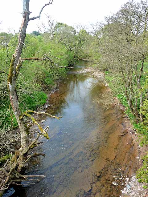
Image: © Oliver Dixon Taken: 29 Apr 2011
Looking downstream from Whitelyne Bridge. The confluence with the Black Lyne can just be seen.
Images are licensed for reuse under creativecommons.org/licenses/by-sa/2.0
Image Location
Latitude
55.049107
Longitude
-2.790371