Former Durrants Secondary School, Croxley Green (2)
Introduction
The photograph on this page of Former Durrants Secondary School, Croxley Green (2) by David Hillas as part of the Geograph project.
The Geograph project started in 2005 with the aim of publishing, organising and preserving representative images for every square kilometre of Great Britain, Ireland and the Isle of Man.

There are currently over 7.5m images from over 14,400 individuals and you can help contribute to the project by visiting https://www.geograph.org.uk
Former Durrants Secondary School, Croxley Green (2)
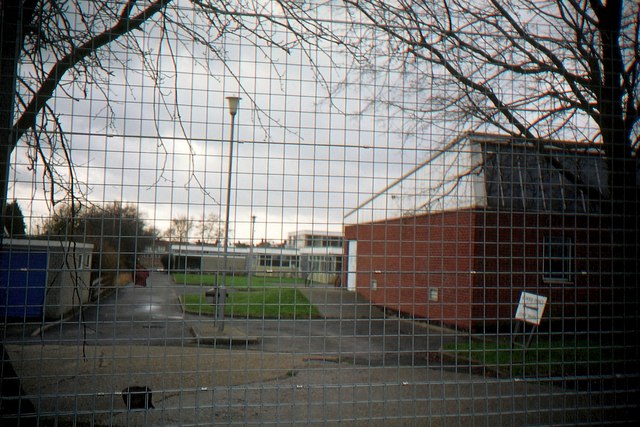
Image: © David Hillas Taken: 5 Jan 1992
Taken in January 1992, this photo shows the rear view of the buildings that were erected in the mid-1960s for the school to become all-ability in 1968. Closure of the school took place in July 1991 and housing now occupies the site.
Images are licensed for reuse under creativecommons.org/licenses/by-sa/2.0
Image Location
Latitude
51.656372
Longitude
-0.446212