Colwell Field
Introduction
The photograph on this page of Colwell Field by Simon Carey as part of the Geograph project.
The Geograph project started in 2005 with the aim of publishing, organising and preserving representative images for every square kilometre of Great Britain, Ireland and the Isle of Man.

There are currently over 7.5m images from over 14,400 individuals and you can help contribute to the project by visiting https://www.geograph.org.uk
Colwell Field
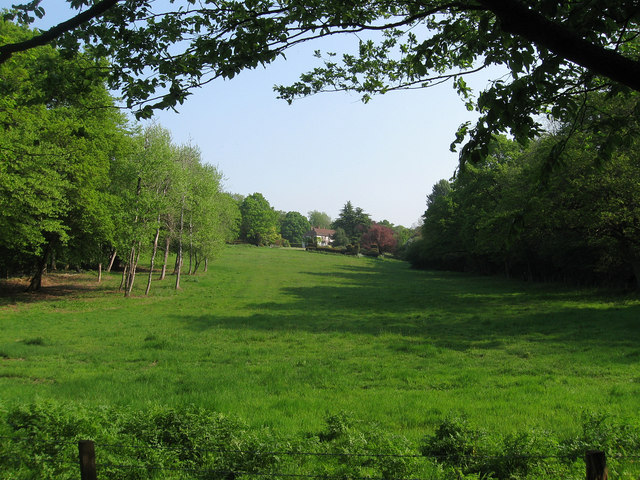
Image: © Simon Carey Taken: 30 Apr 2011
The name of the field according to Wivelsfield's 1843 tithe map that lies on the western side of Colwell Lane which now is part of the grounds of Rookhurst House which can be seen further up the slope. The house was built during the Edwardian era and was originally known as Sunny Mount becoming Kenterne in the 1930s and then its current name sometime in the 1960s.
Images are licensed for reuse under creativecommons.org/licenses/by-sa/2.0
Image Location
Latitude
50.987555
Longitude
-0.080097