Webbs Field
Introduction
The photograph on this page of Webbs Field by Simon Carey as part of the Geograph project.
The Geograph project started in 2005 with the aim of publishing, organising and preserving representative images for every square kilometre of Great Britain, Ireland and the Isle of Man.

There are currently over 7.5m images from over 14,400 individuals and you can help contribute to the project by visiting https://www.geograph.org.uk
Webbs Field
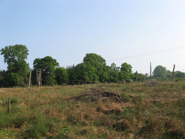
Image: © Simon Carey Taken: 30 Apr 2011
The name of the field according to Wivelsfield's 1843 tithe map with Anscombe Wood to the immediate left. The field will eventually be replanted with trees to replace the former woodland that was grubbed to make way for the Haywards Heath relief road.
Images are licensed for reuse under creativecommons.org/licenses/by-sa/2.0
Image Location
Latitude
50.985703
Longitude
-0.098839