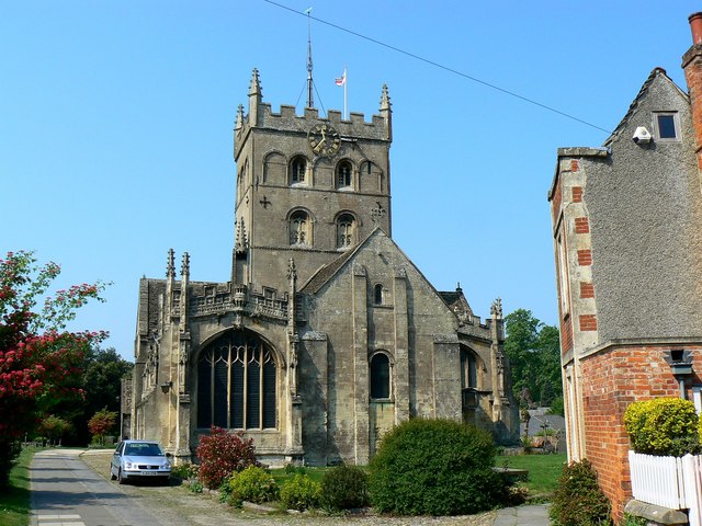
East elevation, St John's Church, Devizes
Introduction
The photograph on this page of East elevation, St John's Church, Devizes by Brian Robert Marshall as part of the Geograph project.
The Geograph project started in 2005 with the aim of publishing, organising and preserving representative images for every square kilometre of Great Britain, Ireland and the Isle of Man.
There are currently over 7.5m images from over 14,400 individuals and you can help contribute to the project by visiting https://www.geograph.org.uk

Image: © Brian Robert Marshall Taken: 30 Apr 2011
The church has seen some hard times since its 12th century inception. In the English Civil War cannon fire left holes in the east wall Image and more recently it was damaged by a fire on 26 September 2006 http://www.sjbnet.org.uk/architecture_04.html since restored. Then in September 2010 homophobic graffiti was scrawled on it http://www.gazetteandherald.co.uk/news/8367165.Graffiti_attack_on_Devizes_church/ The clock, by the way, is accurate.

