Broad Lane by Stone House Farm
Introduction
The photograph on this page of Broad Lane by Stone House Farm by Andrew Hill as part of the Geograph project.
The Geograph project started in 2005 with the aim of publishing, organising and preserving representative images for every square kilometre of Great Britain, Ireland and the Isle of Man.

There are currently over 7.5m images from over 14,400 individuals and you can help contribute to the project by visiting https://www.geograph.org.uk
Broad Lane by Stone House Farm
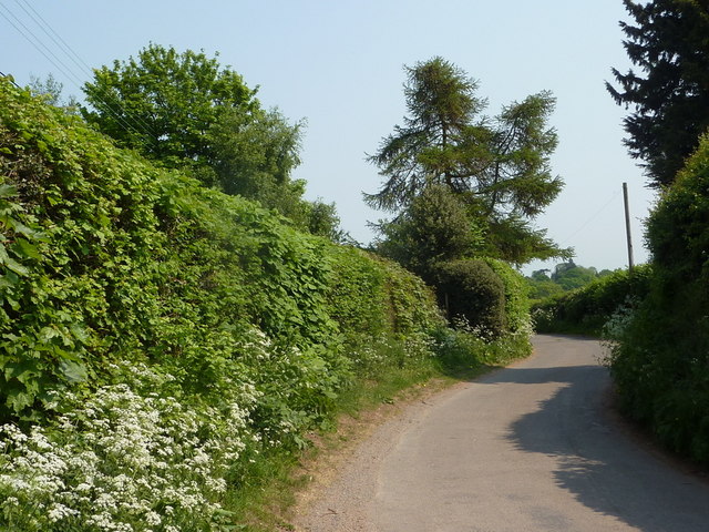
Image: © Andrew Hill Taken: 30 Apr 2011
Broad Lane hardly lives up to its name, and is also very twisty near Stone House Farm.
Images are licensed for reuse under creativecommons.org/licenses/by-sa/2.0
Image Location
Latitude
52.487046
Longitude
-1.616626