Roadworks, Wivelsfield Road
Introduction
The photograph on this page of Roadworks, Wivelsfield Road by Simon Carey as part of the Geograph project.
The Geograph project started in 2005 with the aim of publishing, organising and preserving representative images for every square kilometre of Great Britain, Ireland and the Isle of Man.

There are currently over 7.5m images from over 14,400 individuals and you can help contribute to the project by visiting https://www.geograph.org.uk
Roadworks, Wivelsfield Road
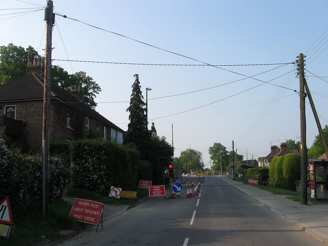
Image: © Simon Carey Taken: 30 Apr 2011
A three way temporary traffic light has been installed on the B2112 for the duration of the construction of Image The cottages on the left were built in 1863 in anticipation of the workforce needed at the recently constructed Sussex County Asylum. The road once formed the boundary between Wivelsfield parish on the left and Keymer parish to the right with both areas transferred to Haywards Heath in 1934.
Images are licensed for reuse under creativecommons.org/licenses/by-sa/2.0
Image Location
Latitude
50.988616
Longitude
-0.100999