Larchwood House
Introduction
The photograph on this page of Larchwood House by Simon Carey as part of the Geograph project.
The Geograph project started in 2005 with the aim of publishing, organising and preserving representative images for every square kilometre of Great Britain, Ireland and the Isle of Man.

There are currently over 7.5m images from over 14,400 individuals and you can help contribute to the project by visiting https://www.geograph.org.uk
Larchwood House
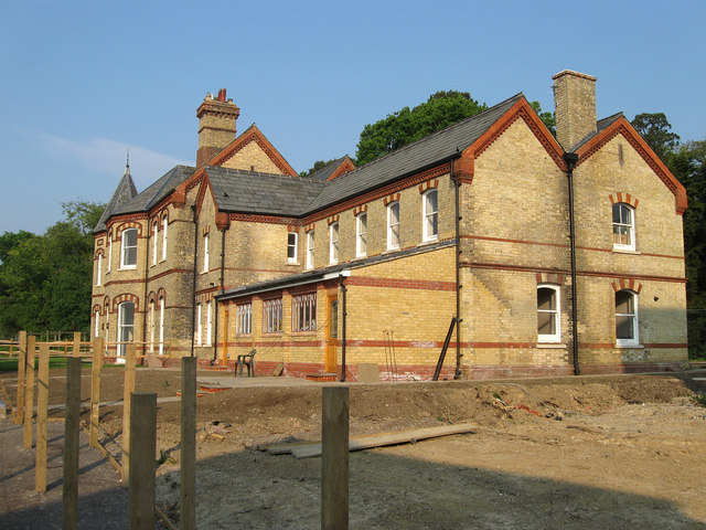
Image: © Simon Carey Taken: 30 Apr 2011
Originally built as the superintendent's residence and was later converted into a private hospital for children. The building has stood vacant for a while but is now being converted into residences.
Images are licensed for reuse under creativecommons.org/licenses/by-sa/2.0
Image Location
Latitude
50.988596
Longitude
-0.099718