Farm road and footpath to Moor House
Introduction
The photograph on this page of Farm road and footpath to Moor House by Gordon Hatton as part of the Geograph project.
The Geograph project started in 2005 with the aim of publishing, organising and preserving representative images for every square kilometre of Great Britain, Ireland and the Isle of Man.

There are currently over 7.5m images from over 14,400 individuals and you can help contribute to the project by visiting https://www.geograph.org.uk
Farm road and footpath to Moor House
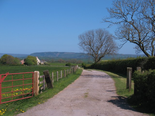
Image: © Gordon Hatton Taken: 30 Apr 2011
Footpath to Moor House in the Vale of Mowbray. In the distance is Beacon Hill above Osmotherley, marking the edge of the Cleveland Hills.
Images are licensed for reuse under creativecommons.org/licenses/by-sa/2.0
Image Location
Latitude
54.387651
Longitude
-1.428059